Mapping Your Ancestors Migration

 I just found out about this wonderful new website. It was designed for you to map out the countries and/or states you have visited, but it can also be used to map out your ancestors migration.
I've used my husband's, Conner, relatives for this example. My research only goes back to 1803 to Joseph Conner. It is believed he was born in TN or possibly VA.
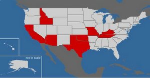
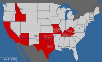
I started by marking all the states that his ancestors were in at any given time, in no certain order. It then creates the image at the top. I saved that image as a photo file. Then I went into Publisher and added the image to a new sheet. Then I began to map out where they lived, by using a line with an arrow at one end. This helps show the direction in which they moved, which would be really useful if they had back tracked.
 At each arrow is a place they lived. I then created a text box and in that put the ancestor that lived there, the years, and the city or county in which they had lived if known. What you end up with is a nice clean colorful map showing the path of migration your ancestors took.
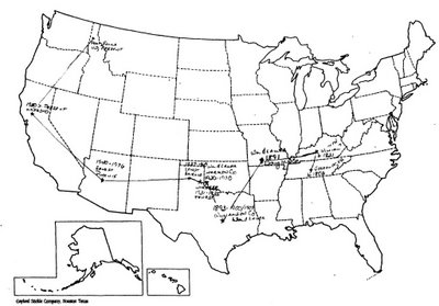
The other alternative and what I had been doing was to use a black form of the United States and write out by hand all the information and then basically connect the dots.
What either method does is to give you an over all look of the times and places your ancestors lived in. Then you can easily take that information and study the history of those areas in that time period to get a better understanding of your ancestor's life, what possibly was behind their movements, the events they lived through and witnessed and more.
You could do the same thing with just one family. By starting with where the family lived and most of the children were born and then showing branches off of that as to where each child moved to after leaving the home. This may also help you to research the other descendants of your ancestors if you know where they moved to, in order to find future generations of descendants.


Comments